Geospatial
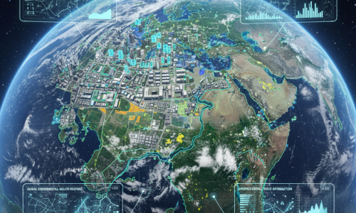
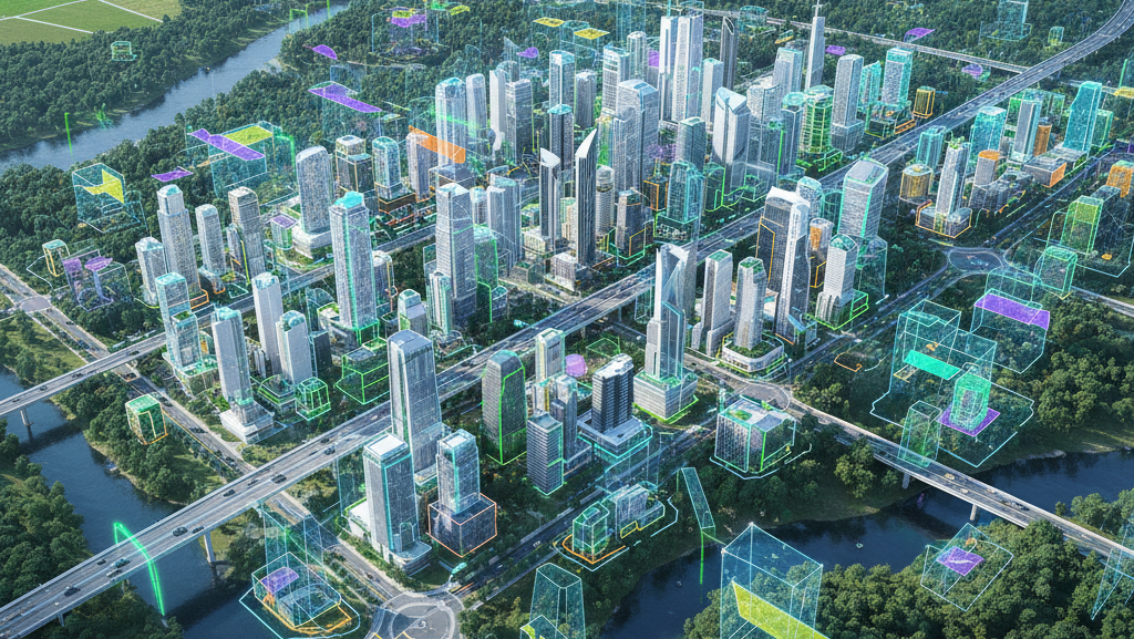
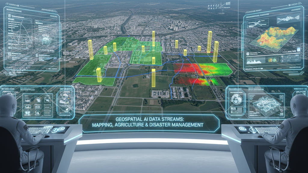
The geospatial industry focuses on capturing, analyzing, and interpreting spatial data from the Earth’s surface using satellites, drones, aerial imagery, LiDAR, RADAR, and GIS (Geographic Information Systems) technologies. Data annotation is a critical component in this industry, as it enables AI and machine learning models to extract actionable insights from vast amounts of raw geospatial data. For applications like mapping, urban planning, environmental monitoring, disaster management, and agriculture, accurate annotation ensures that geospatial AI systems can detect, classify, and analyze features such as buildings, roads, water bodies, vegetation, and terrain types. Without precise labeling, models cannot differentiate between natural and man-made structures, leading to inaccuracies in predictions, maps, and simulations.