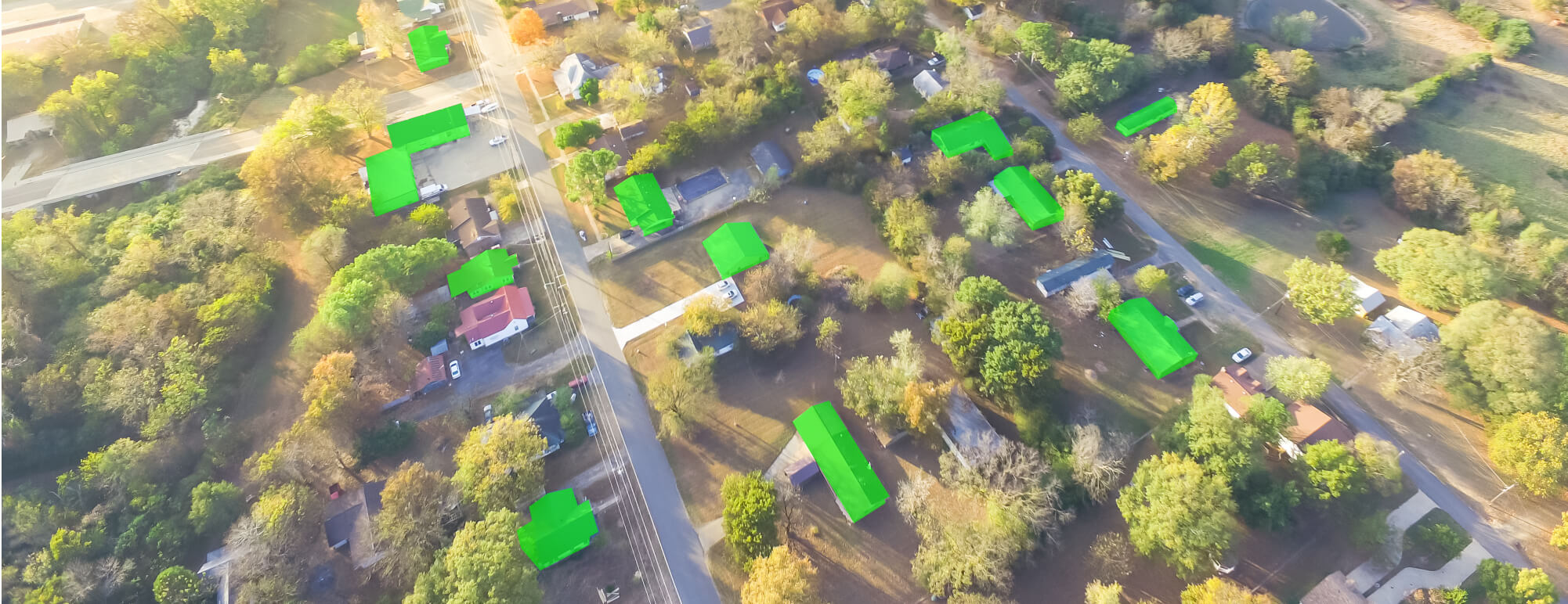
Disaster management
We use aerial imagery annotation to provide train data of aerial images to the computer vision model. This allows the labeling of images that are captured through drones or other sources. As a result, objects in a large area span can be identified.
To understand the impact of a disaster pre and post aerial images of the disaster-hit zones are compared. For this, we label structures like buildings, ports, etc. By thoroughly understanding the situation, effective rescue plans can be set in place.
Geo-spatial analysis
Through our annotation solutions, businesses can inspect and label spatial data. This data is usually captured through satellite images and visual GPS. We label areas, forests, parks, fields, buildings, etc. to provide accurate results.