Why is Agriculture Annotation Important?
AI-driven agriculture relies on high-quality annotated data to:
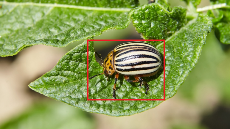
- Detect crop diseases, pest infestations, and nutrient deficiencies.
- Monitor crop growth stages and estimate yield.
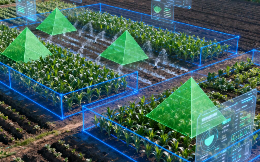
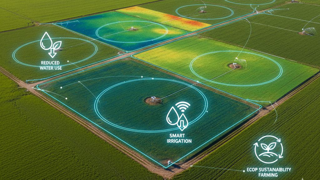
- Identify weeds, soil conditions, and irrigation needs.
- Optimize resource usage through precision farming techniques.
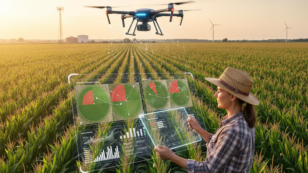
- Analyze satellite or drone imagery for large-scale farm management.
Proper annotation ensures AI models can distinguish between healthy and unhealthy plants, classify crop types, and predict potential risks—ultimately improving productivity, sustainability, and profitability in farming.
Types of Agriculture Annotation
Image and Video Annotation
Bounding boxes and polygons mark plants, fruits, and pest-affected areas. Semantic segmentation labels different zones such as soil, crop canopy, and water bodies. Keypoint annotation is used to track plant growth or identify specific crop parts like leaves and stems. Video annotation enables time-lapse analysis for growth monitoring and harvesting automation.
Aerial Annotation
Drone and satellite imagery are annotated to map fields, detect irrigation issues, and classify crop types. Polylines and polygons outline field boundaries, irrigation lines, and farm infrastructure, while LiDAR data helps create 3D field models for terrain analysis.
Multispectral & Sensor Data Annotation
AI models use annotated multispectral images and IoT sensor readings to analyze soil moisture, chlorophyll content, and vegetation indices like NDVI. Annotating these datasets allows accurate prediction of crop health and early detection of environmental stress.